
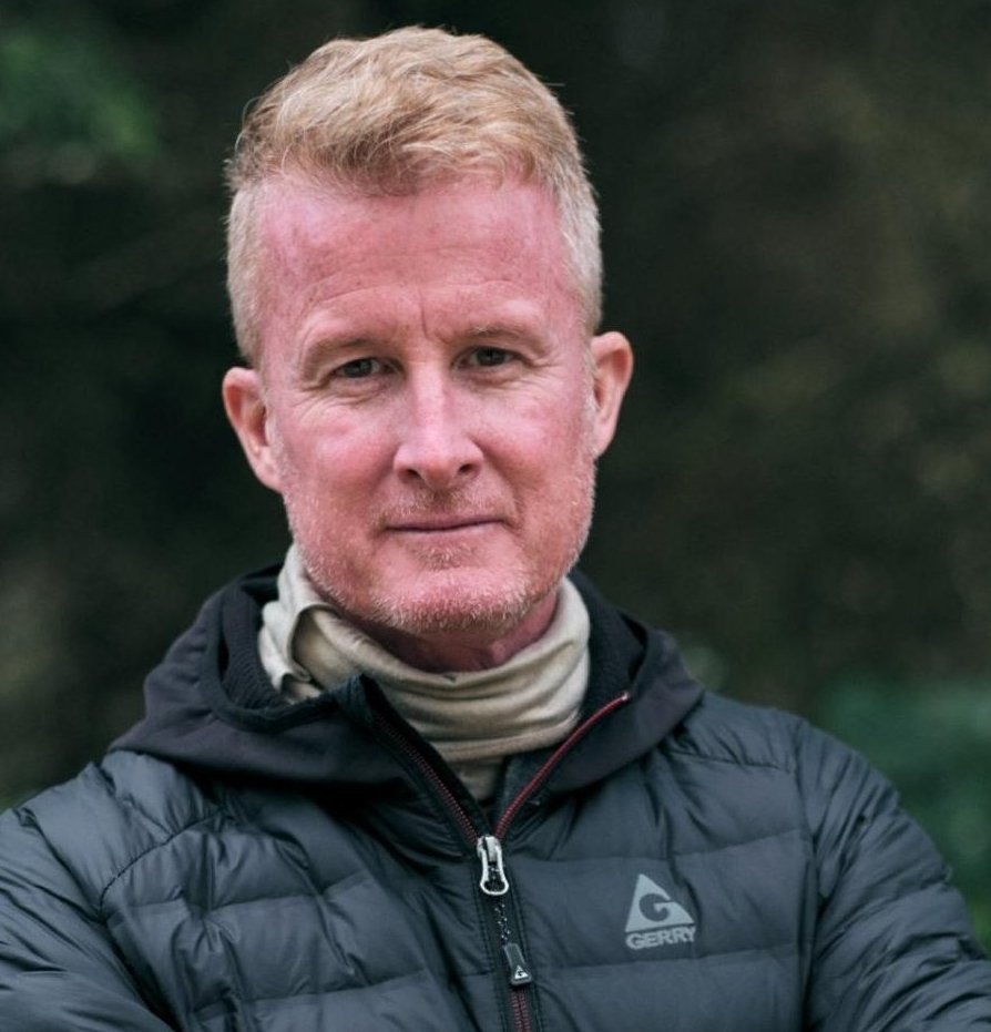
Ron Spoehel
Co-Founder & Chairman
NASA Leadership - Presidentially Appointed Senate-confirmed. Seasoned executive with 40+ years in energy & tech. Leads Windrock Capital. Wharton MBA. UPenn-Moore Electrical Eng.
Reclaiming land. Protecting civilians. Accelerating nations.
Aerial GPR drone surveys and AI landmine detection. Validated for Ukrainian landmine detection and global mine action.
Co-Founder & Chairman
NASA Leadership - Presidentially Appointed Senate-confirmed. Seasoned executive with 40+ years in energy & tech. Leads Windrock Capital. Wharton MBA. UPenn-Moore Electrical Eng.
Co-Founder & Field Director
U.S. Navy EOD veteran. Successfully founded and exited 'Bombs Away', a specialized EOD company. Brings tactical expertise and operational leadership.

Co-Founder & CTO
PhD in Geophysics with 15+ years in subsurface imaging. Key researcher at Schlumberger research labs. Successfully exited from a seismic technology startup.
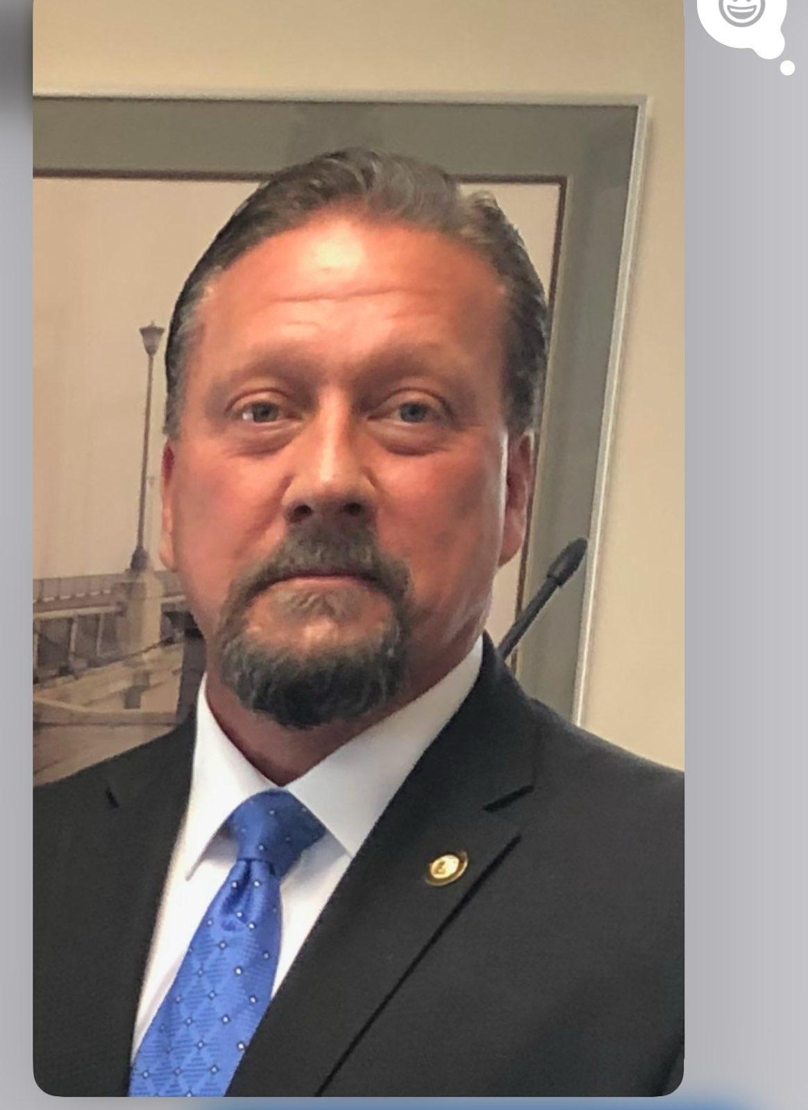
Public Safety Operations Director
40+ years in global law enforcement and security. Former Chief of Police for multiple agencies and CEO of Harbinger Solutions Group. Expert in international assessments.
These are common but usually not the time-killers.
This is the 'typical grid' worldwide.
This is also where PLG has the biggest impact, because traditional NTS overestimates boundaries.
GPR drones (UAVs) fly autonomous grids, transmitting real-time wireless data for landmine detection.
AI landmine detection: neural networks classify subsurface signatures (mines vs. clutter).
Probability maps are exported to national databases for tasking.
The only aerial system that finds *all mine types* (metal, low-metal, plastic).
For business inquiries and partnerships, please reach out to our team.
Patriot Logistics Group
Revolutionizing mine action with aerial, autonomous, and data-driven solutions.
Email: paulgmurray@protonmail.com